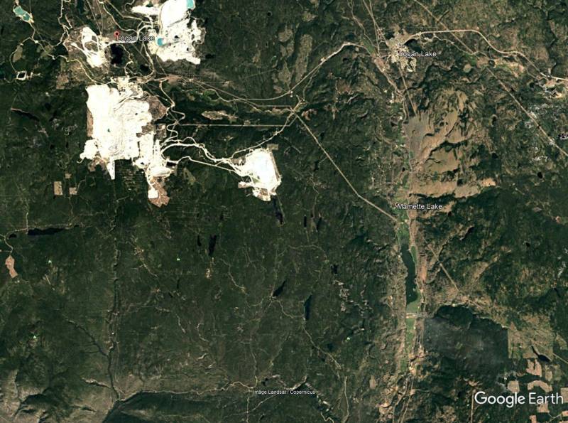
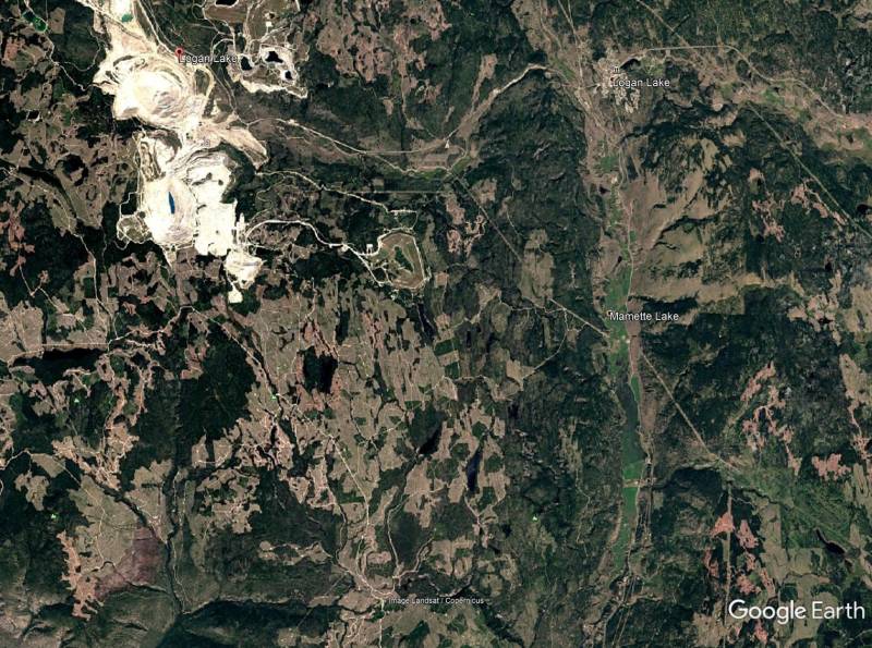
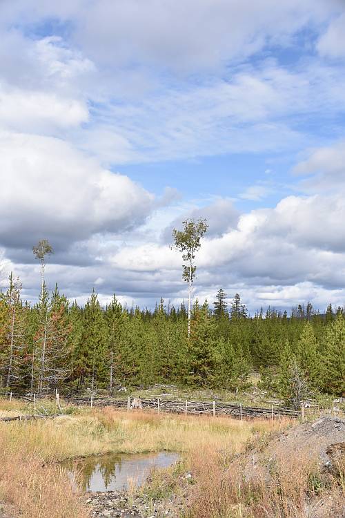
These Google Earth images are of the approximate area in BC (near Logan Lake) that I saw in a recent presentation. When you think of the impacts of losing all that forest cover on watersheds and downstream communities. . .
Same area, one shot from 1984 the other 2016.
The presenter was adamant that flooding in interior communities was not mostly due to climate change as some claim, but mostly due to poor forestry practices.
When you take all the trees, there’s no transpiration of precipitation, and nothing to slow down runoff.
Yes we need forestry jobs, but this does not appear to be a good way to save either the environment or the economy.
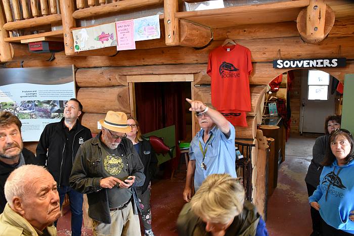
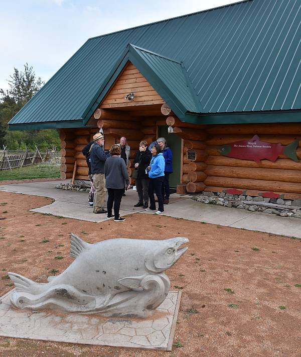
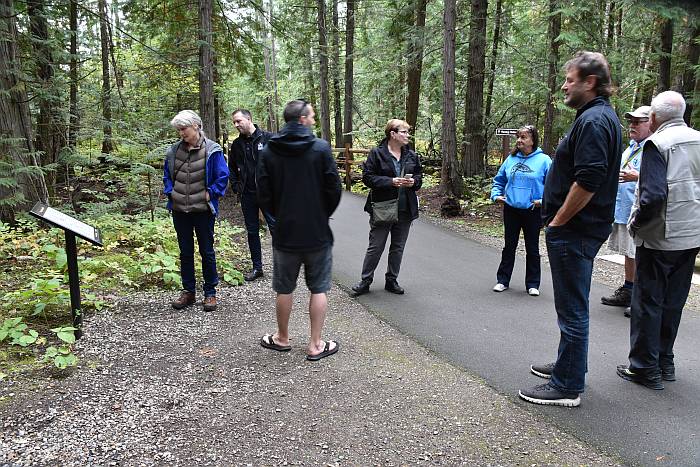
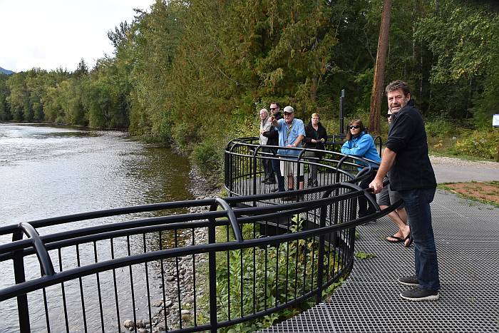
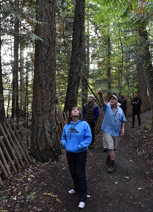
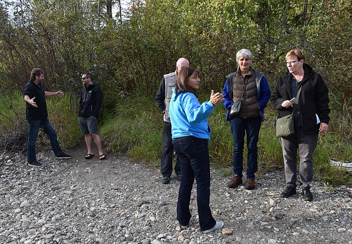
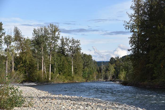
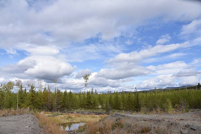
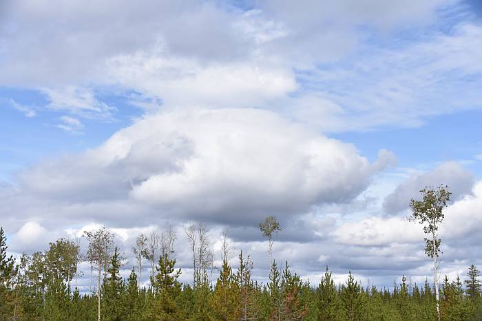
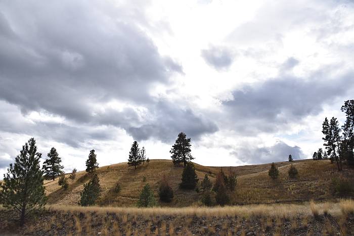
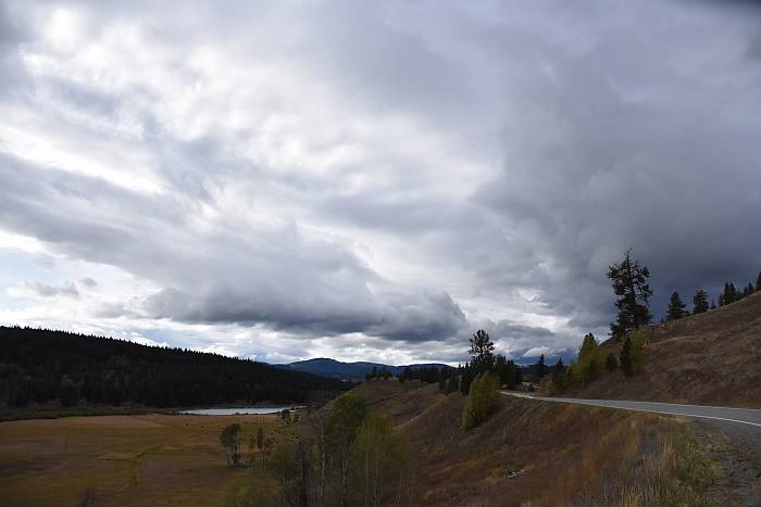
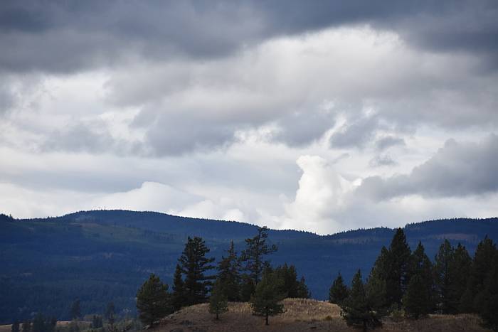
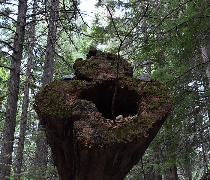
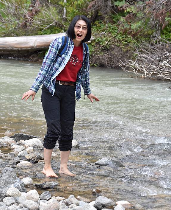
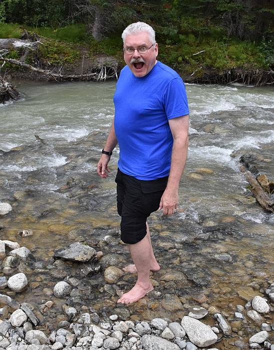
SEHAB site visit to Tsútswecw Provincial Park (Roderick Haig-Brown) today. Thanks to Dave Smith and others for meeting us there and doing a walkabout.
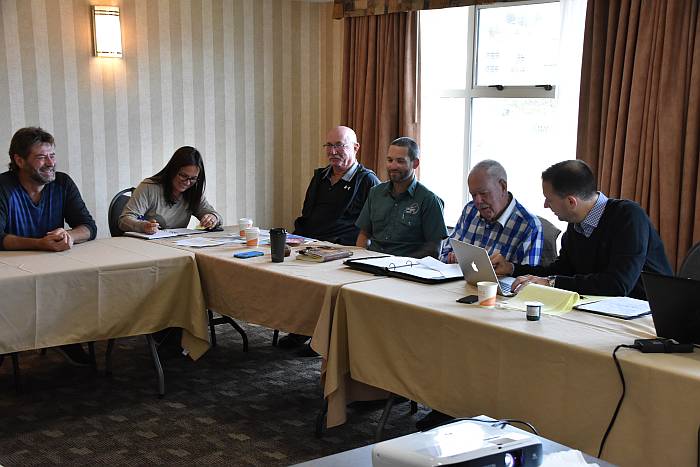
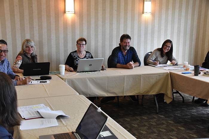
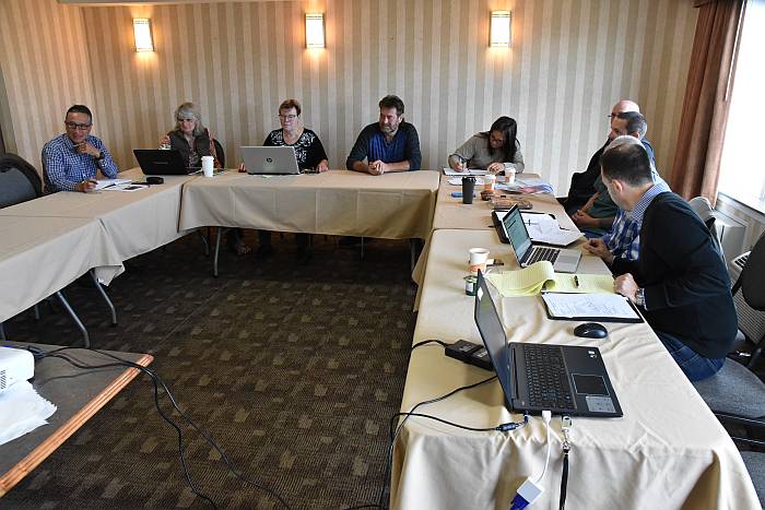
SEHAB is the Salmonid Enhancement and Habitat Advisory Board to Fisheries and Oceans. These volunteers meet three times a year to gather comments and advice from stewardship groups across BC and share them with DFO Regional HQ.
We meet three times year, and board members collect and share information from stewardship groups from across British Columbia. We have expert speakers in, and tour local habitat restoration sites, dams, fish ladders, etc.
We distill all that information, positive and negative, and report to senior DFO management at Pacific Regional HQ.
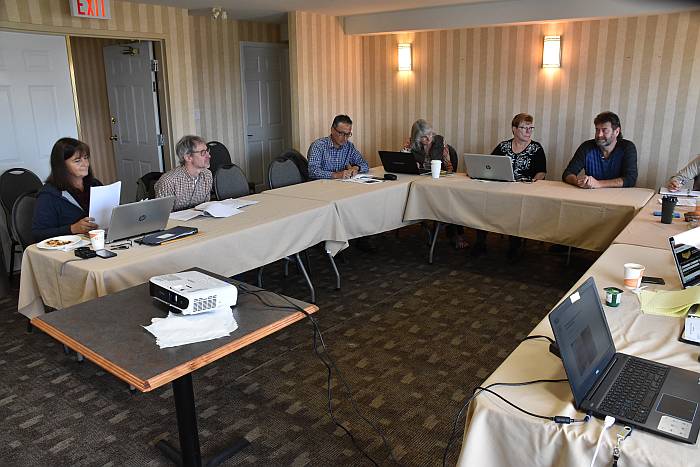
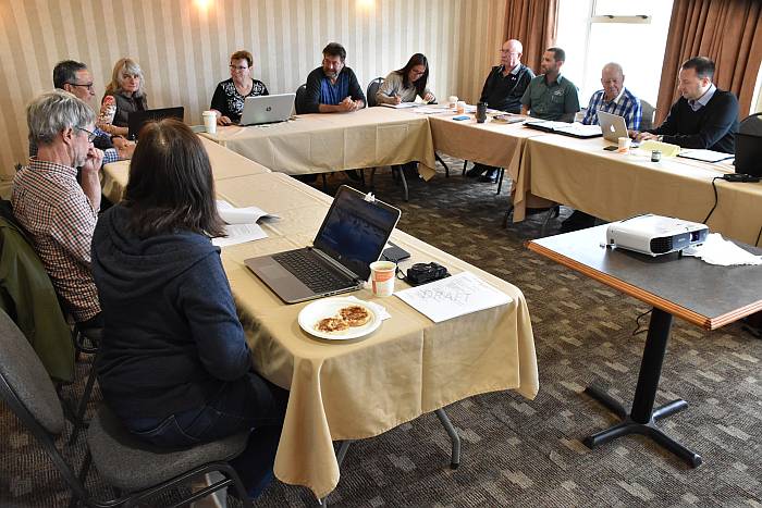
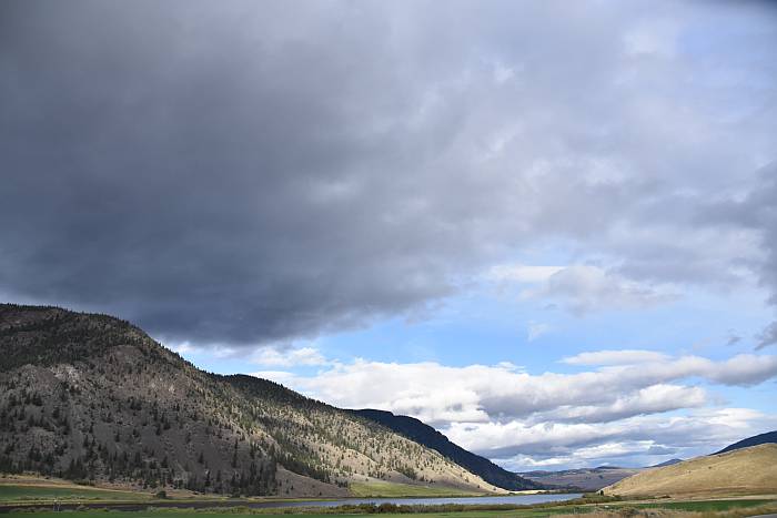
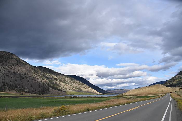
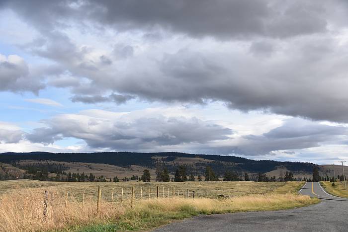
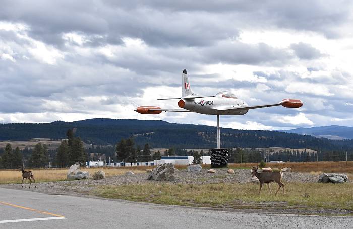
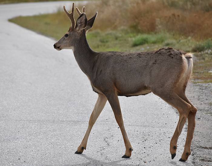
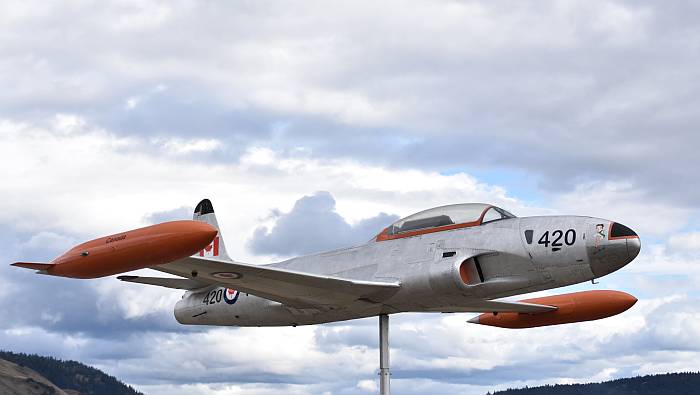
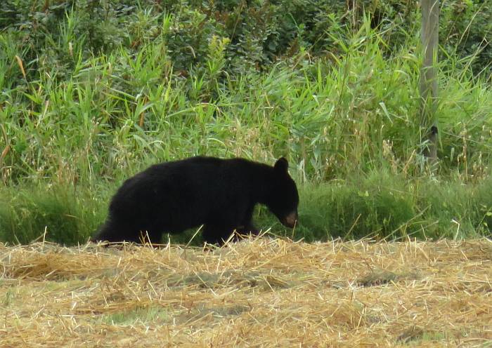
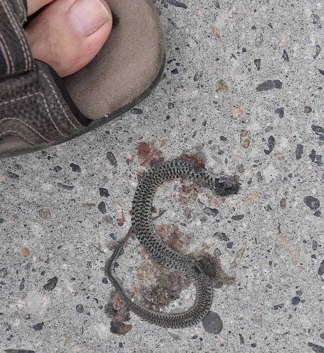
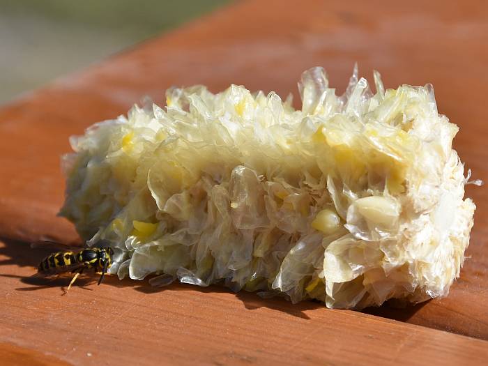
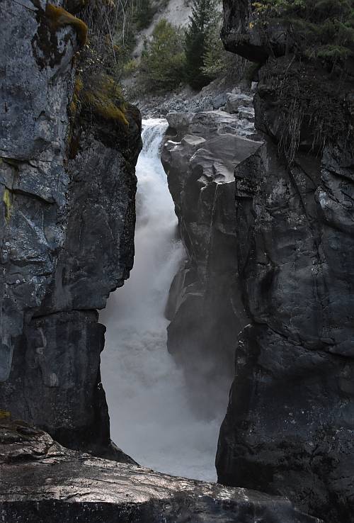
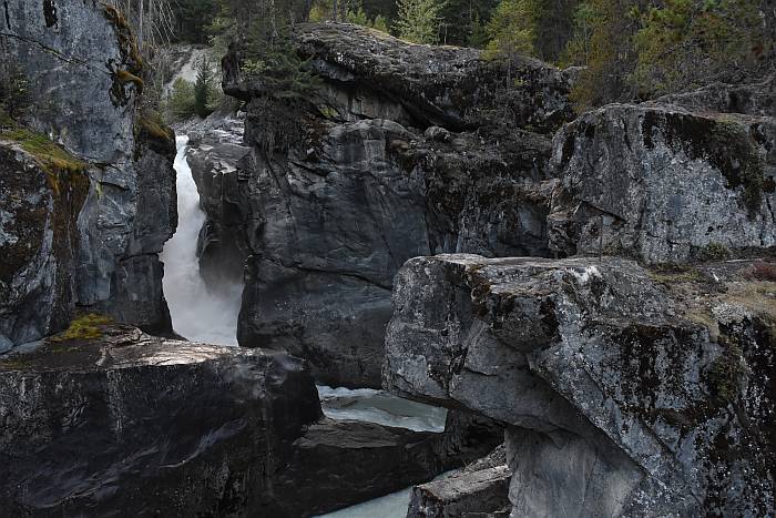
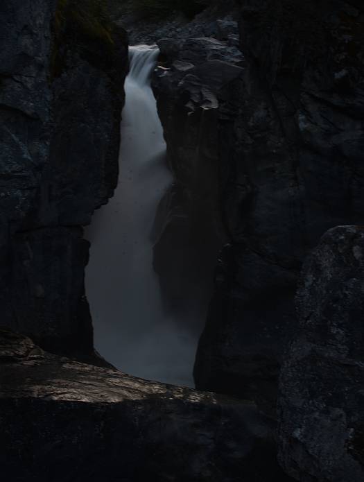
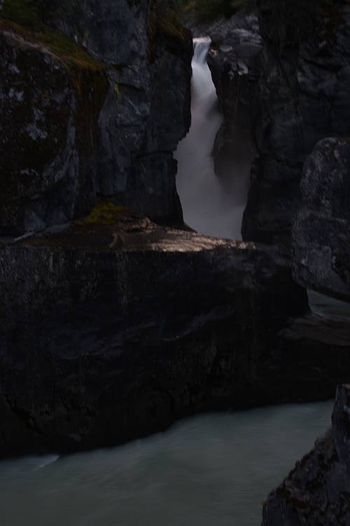
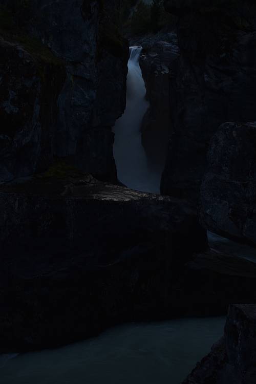
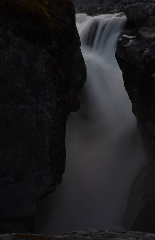
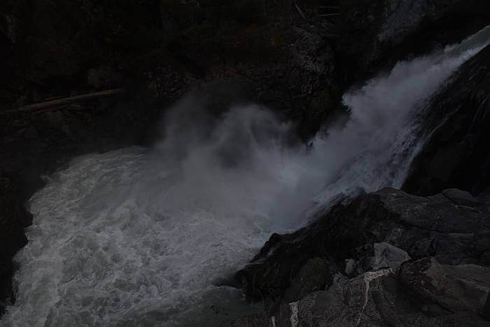
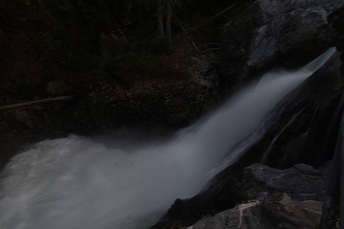
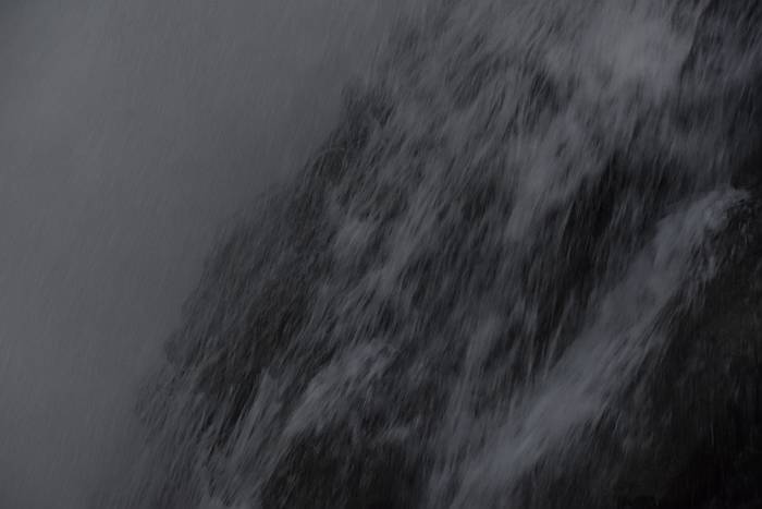
Here are a few shots from our latest meeting in Kamloops, BC:
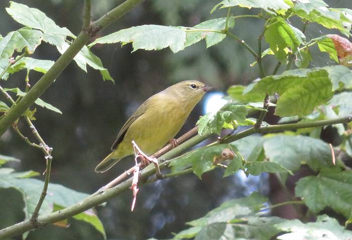
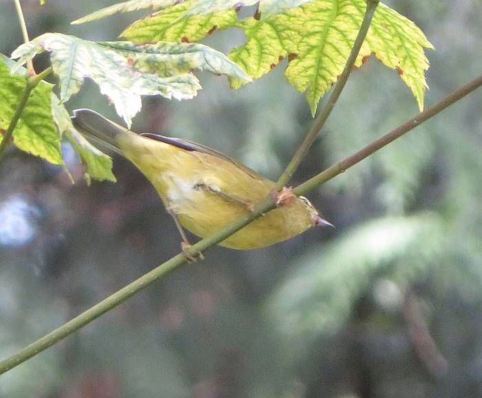
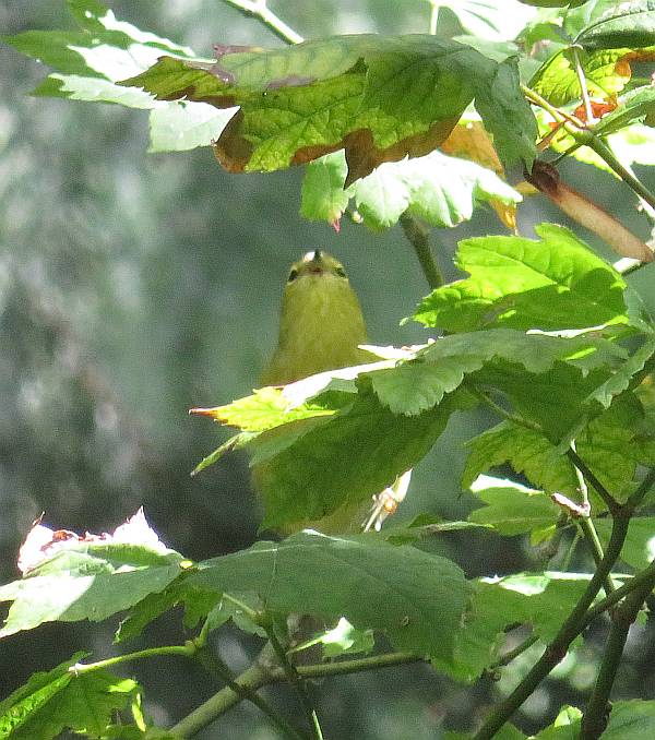
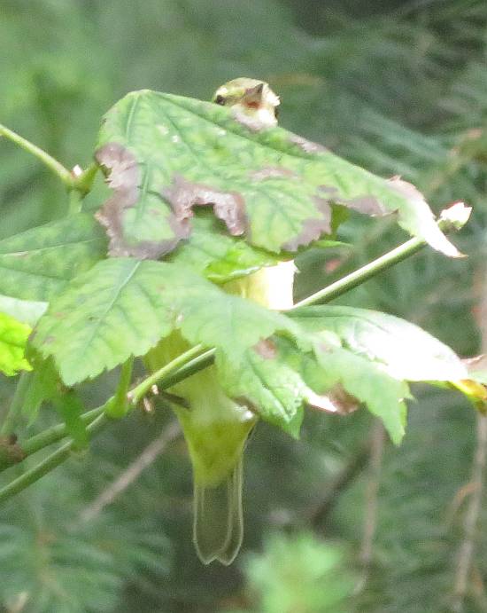
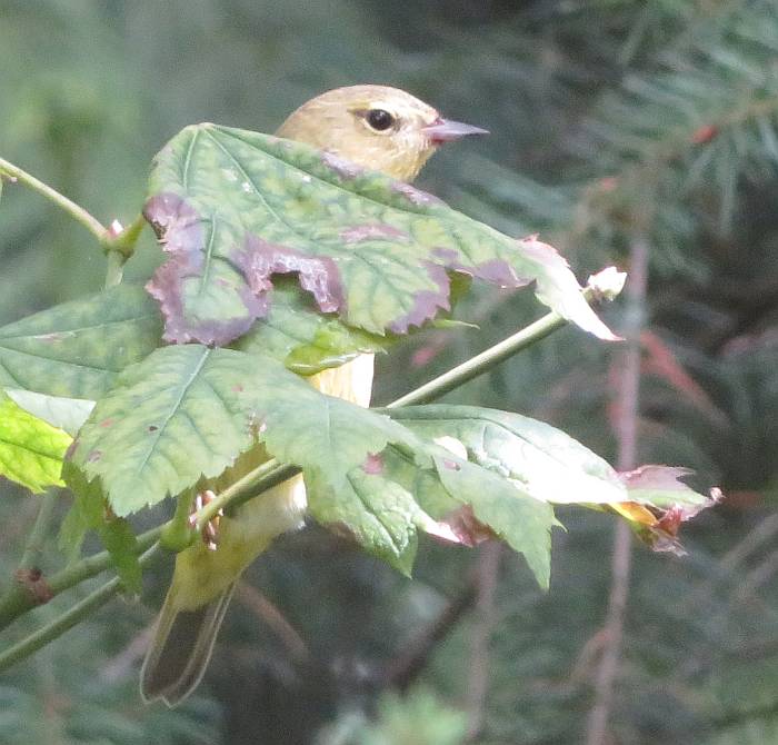
I was coming home from the post office, and caught a flash of yellow zooming into the forest next to our garage. I got out, watched and waited. . . and success!
Max 40X optical zoom on my wee Canon SX730HS and tight cropping.
BTW, thanks to my Facebook friends who come to my rescue when I’m not sure what kind of bird I’ve “shot.”
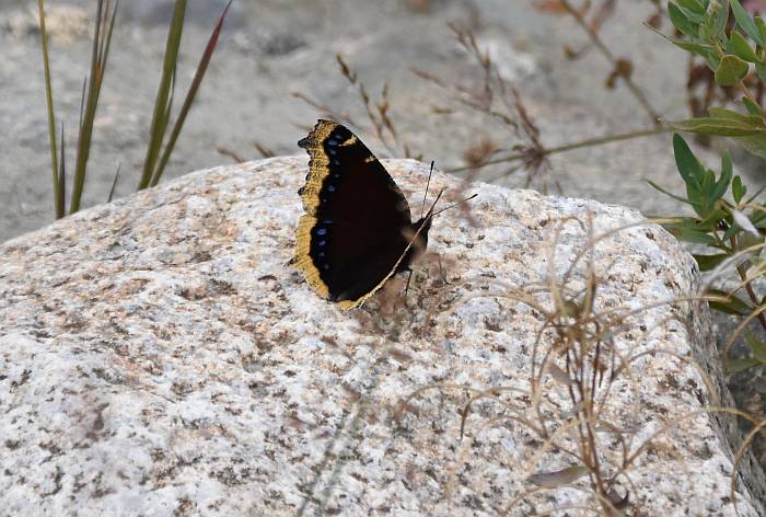
No post-processing aside from minor cropping and sharpening. All colour/motion changes are simply through varying exposure and combinations of shutter speed/aperture.